What You Receive
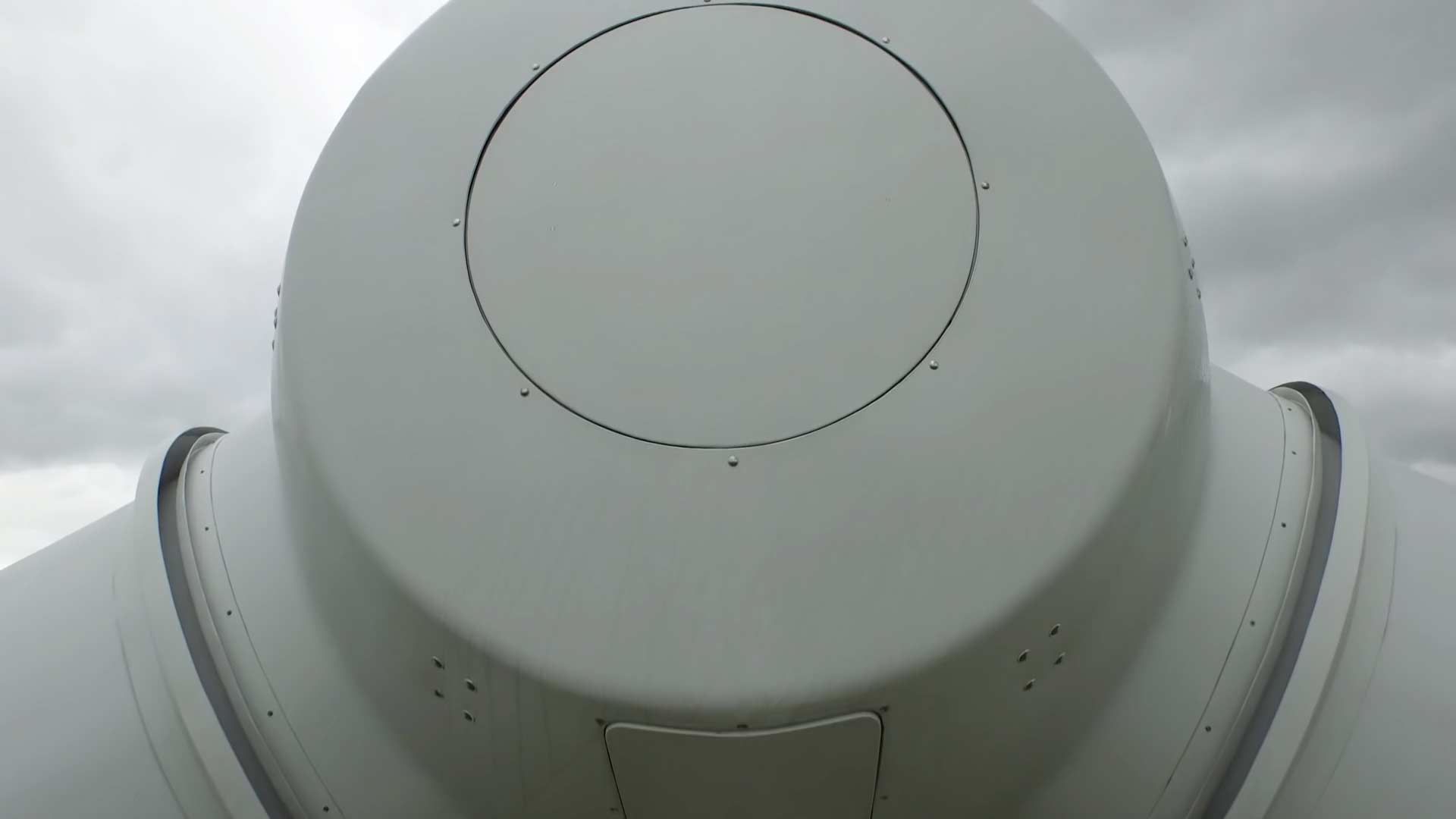
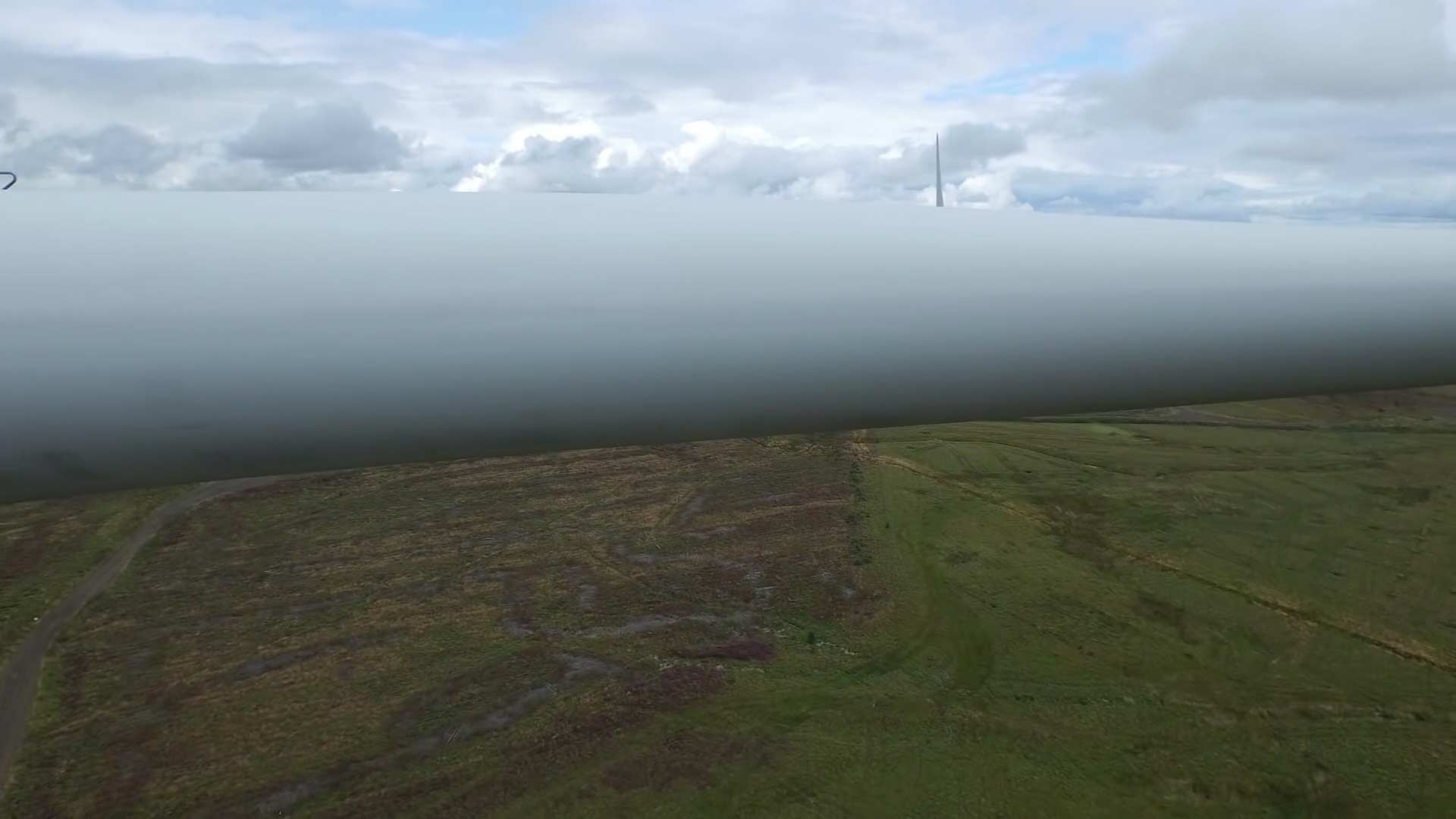
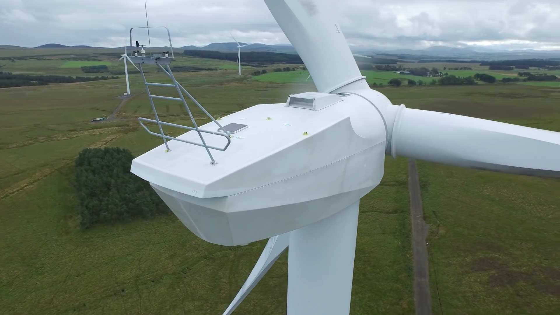
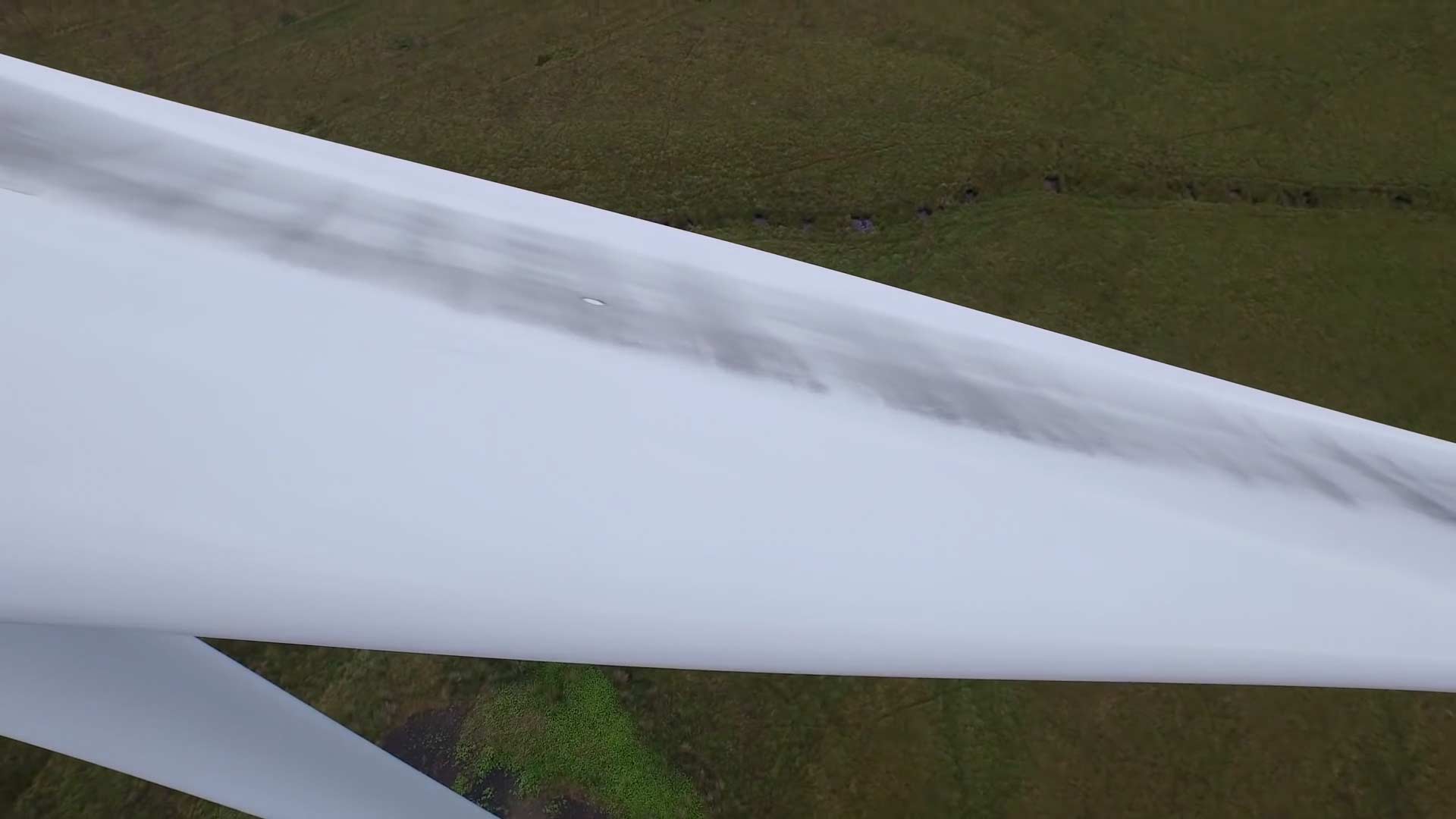
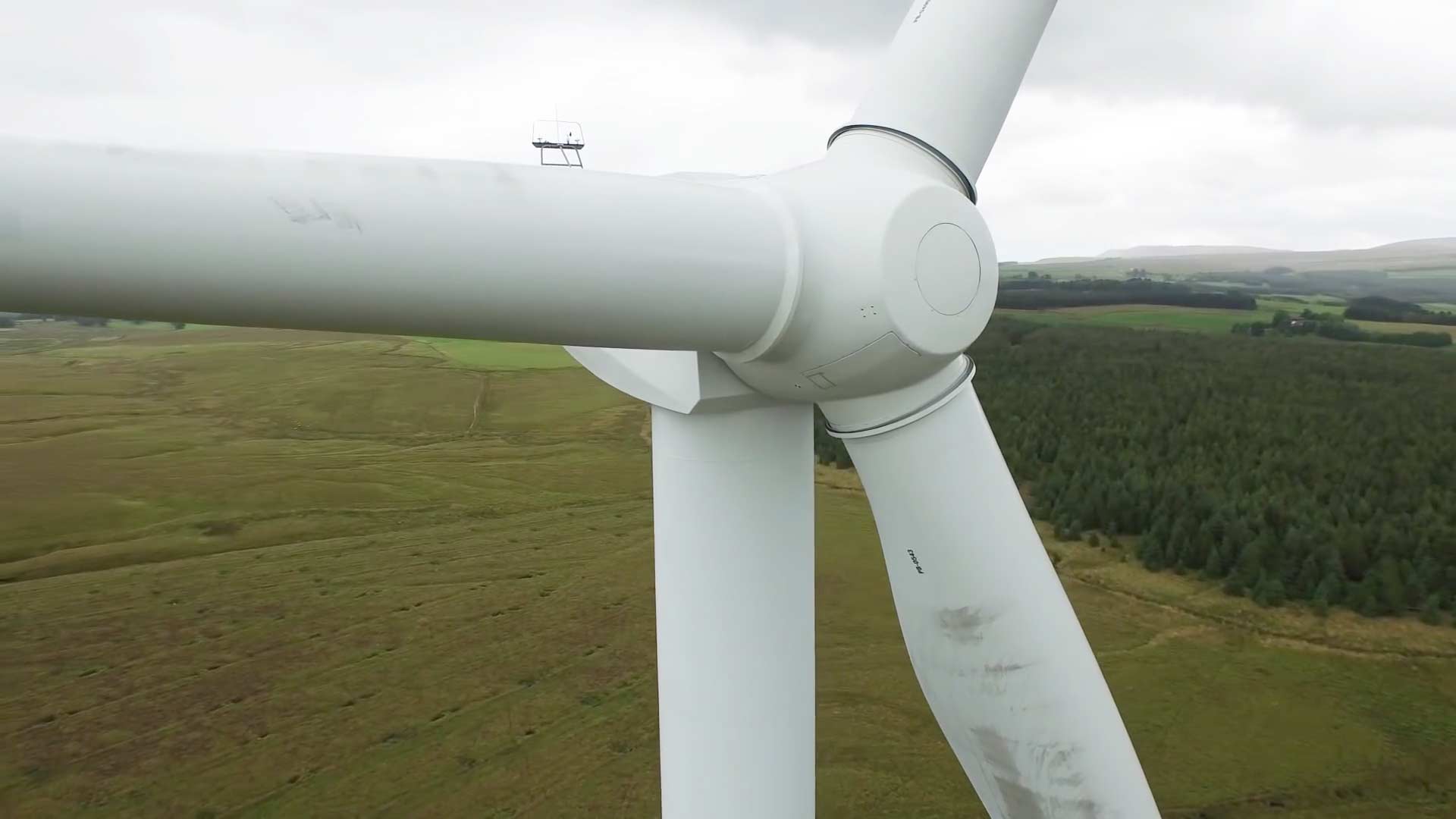
Drone Aerial SWFL captures close up, high-resolution aerial photography of your wind turbine(s) (examples below) which enable you to assess the current condition of the turbines, their blades, and other infrastructure at height.
Drone Aerial SWFL can easily capture high-resolution 4K aerial videos showing the current condition of your wind turbine(s) so you and your engineers can safely assess their current condition from various angles in detail.
Drone Aerial SWFL can easily generate interactive 3D models of wind turbines similar to the one below to help your clients get a better sense of a wind turbine’s current condition and surroundings. This allows your engineers to get a better sense of the wind turbine’s structural integrity from various perspectives.
How It Works

1. Request a Drone Mission
Online or by Phone

2. Our Certified and Insured
Pilots Do The Flying
3. We Deliver Your Aerial
Content Digitally
Frequently Asked Questions
Yes. Every Drone Aerial SWFL pilot has received their FAA and FAA 107 certification to fly drones throughout the US and Canada. Drone Aerial SWFL has a $5 million dollar general business liability insurance policy as well as a $5 million dollar UAV/drone liability insurance policy. Each Drone Aerial SWFL pilot also has their own UAV/drone liability insurance policy of at least $5 million dollars whenever they operate. All Drone Aerial SWFL pilots have passed a background check which includes a criminal-record background check, so you can rest assured Drone Aerial SWFL pilots are experienced, insured & safe.
Drone Aerial SWFL accepts all major payment methods including Visa, Mastercard, American Express, Discover, PayPal, Debit cards, and ACH bank transfer payments. Payments can easily & securely be made online on Drone Aerial SWFL .com. At our discretion, we will accept offline payment from businesses via mailed business check on net 30 payment terms.


 Receive high-resolution 20 megapixel imagery of your wind turbine(s) at all angles to see the condition of the wind turbine, blades, and other equipment / infrastructure in vivid detail.
 All files are securely hosted by Drone Aerial SWFL . Your files are encrypted with bank-grade AES 256 bit encryption while in transit and at rest.
 Receive ultra high-definition 4K video of your wind turbine(s) from all angles to see the condition of the wind turbine(s), blades, and other equipment / infrastructure in vivid detail..
 Never miss a detail with close up aerial imagery of your wind turbine(s), blades, and other equipment / infrastructure in vivid detail. with our aerial 30x zoom camera.
 Assess the condition of wind turbine(s) more quickly and efficiently with crystal-clear photos and video footage. Reduce costs by eliminating the need for using manned helicopters or wind turbine climbers.
 Drone Aerial SWFL can securely stream the drone’s video feed to you providing a real-time view of your wind turbine(s). Drone Aerial SWFL can also produce 3D models of the wind turbine(s) when requested.
